
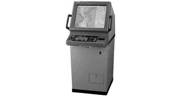
ECDIS (ELECTRONIC CHART, DISPLAY & INFORMATION SYSTEM)
Required by IMO Resolution A.817 (19), IEC 61174, and related IHO (International Hydrographic Office) standards. ECDIS is a real-time geographic information system and accepted as equivalent to paper chart for continuous monitoring of the ship’s position using several positioning systems. It should be type-tested and approved by an official authority and should be used only together with official data and regular updates. Useable charts are derived from an official ENCs (Electronic Navigational Charts) database. This displays electronic charts, navigation lines, ARPA data, user-defined information and offers vessel route planning and continuous monitoring. Accurate position, depth, alarm data and other warning facilities assure the vessel of reliable route monitoring and contributes greatly safer to vessel navigation and efficiency as well as reduced operator workload when compared to using traditional paper charts. The system is composed of monitor and processor unit. Please contact your local supplier for further information.
No account needed — quotes from verified suppliers, typically within 24 hours.
Item details
- IMPA 代码
- 372831
- Unit of Measure
- SET
- Section
- 37. 航海设备
- Product Family
- ECDIS 电子海图显示与信息系统
Geomarine brokers ship supplies to vessels worldwide: send the IMPA codes on your requisition and we source prices from verified chandlers and suppliers at your next port of call — no account required, your vessel identity stays private.
在您的挂靠港交付
我们将该物料的询价转交给 600 多个港口的经审核供应商,其中包括: